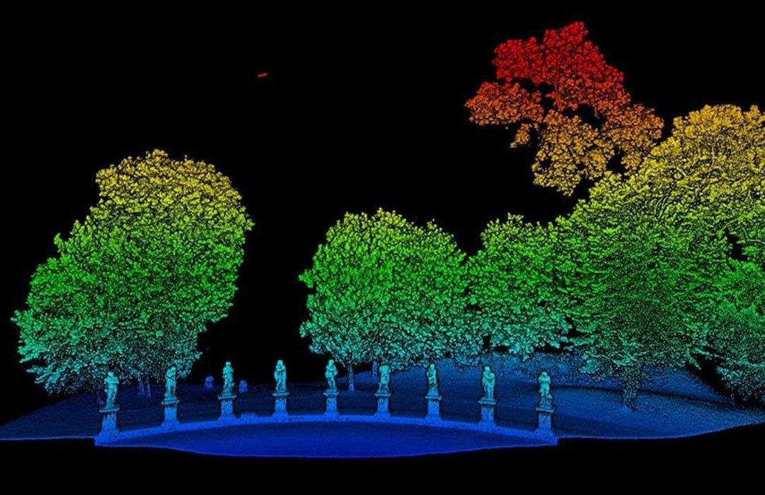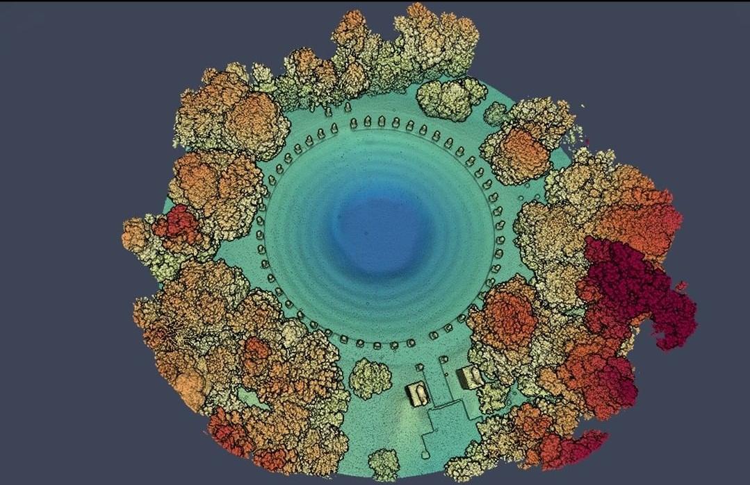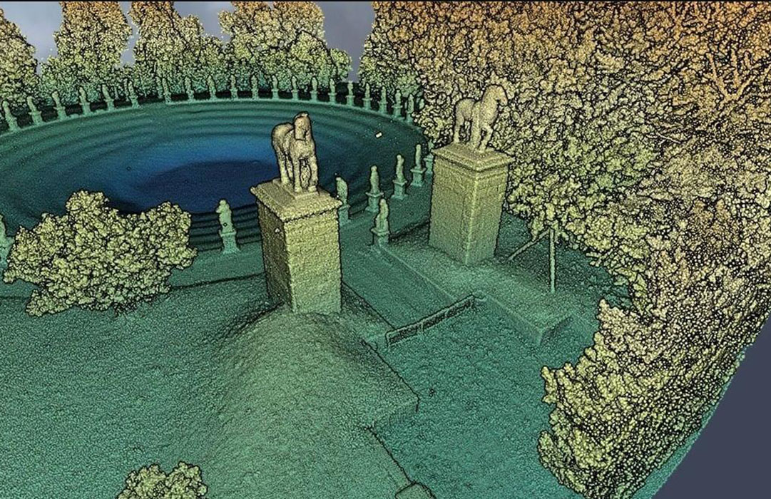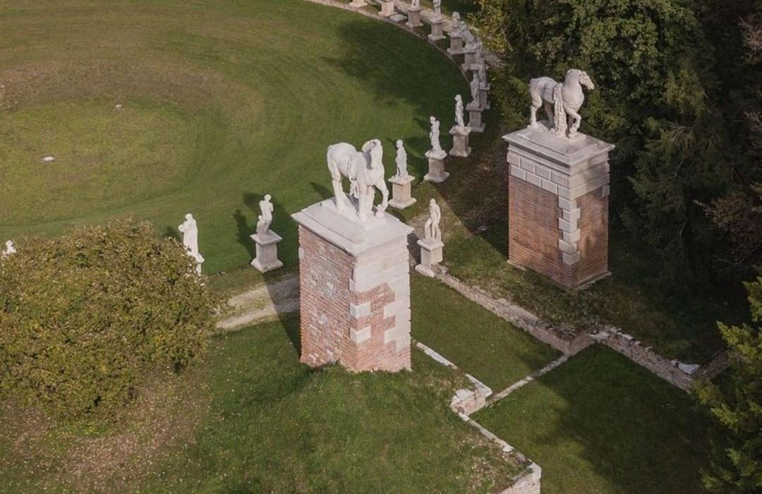
LiDAR scanning with drones over Villa Bolasco
July 23th, 2021
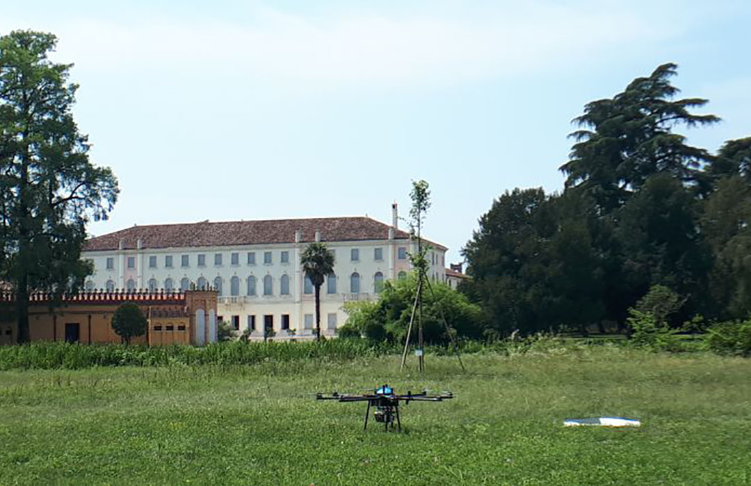
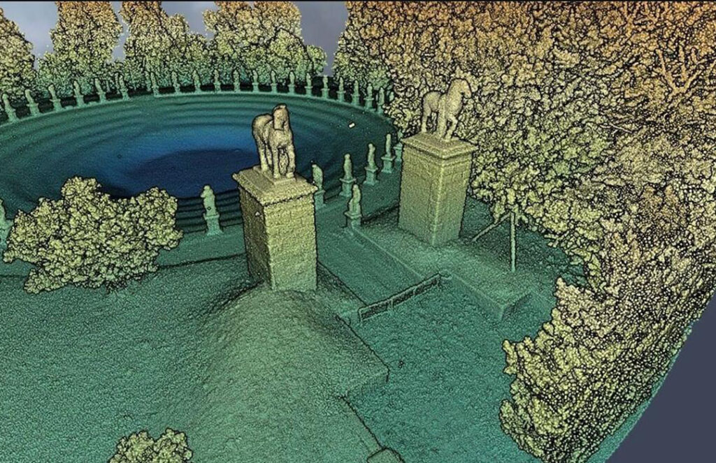
VARCITIES partners in Castelfranco Veneto completed a laser scanning (LiDAR) survey from drones in the garden of Villa Bolasco. Thanks to the latest sensors used, the survey allowed the collection of extremely dense point clouds. Complex geometries like statues and vegetation are clearly visible thanks to more than 10’000 3D points per square meter, allowing an accurate virtual representation.
Accurate surveying is the first and crucial step towards further products and processes, such as management with extended/virtual reality models, smart city applications etc.

